
Monteux
Gîte Le Petit Paradis ***
Located in the heart of Provence, Monteux is well situated to discover Avignon a
From 31/01 to 19/12/2026 daily between 4 pm and 9 ...



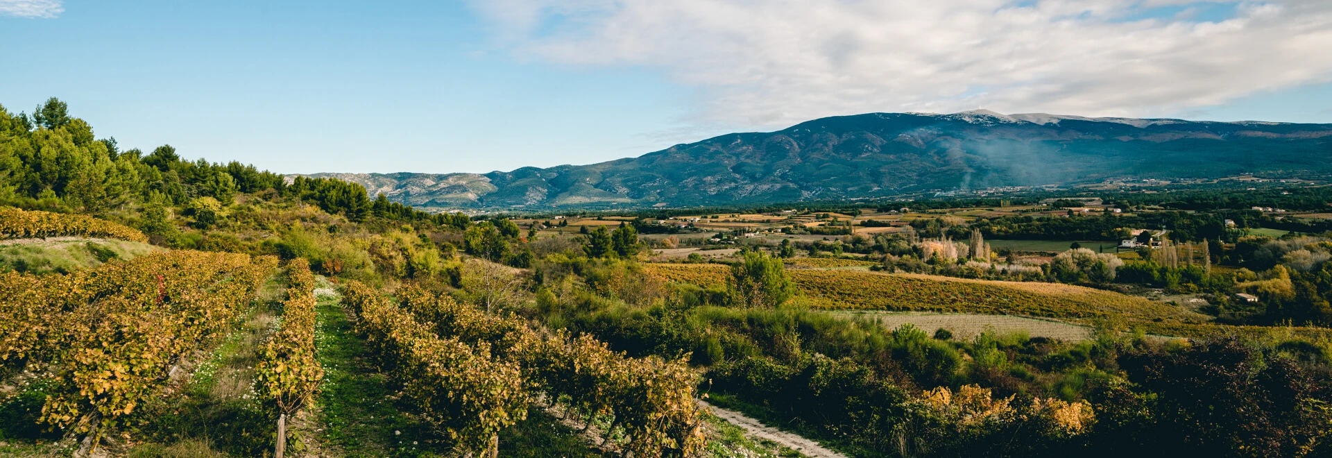

From its height of 1910 metres, Mount Ventoux dominates the Comtat plain, the Luberon region, and the Rhône valley. A haven for hikers and cyclists, it attracts visitors in search of grand spaces, exceptional panoramic views, and unique experiences in the heart of unspoilt nature.
Mount Ventoux has two summits: the most famous, topped with a “cap” of different minerals and crowned by its red and white observation tower, and Mount Serien, located a little lower on the northern slope, with 1,437 metres of altitude.
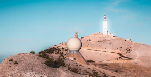
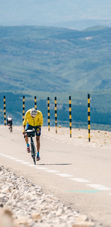
1,600 metres of elevation gain over a stretch of 21.5km – just thinking about it, our calf muscles are cramping! The route leading to the summit (1,910m) is a real challenge for veteran cyclists. The Tour de France has something to do with this – Ventoux has become one of its most legendary stages. You need to be a strong cyclist to brave the slopes reaching a gradient of 10%. A little tip for fans dreaming of yellow jerseys: there are 3 routes that reach the mountain, the most accessible coming from Sault.
For visitors in search of breathtaking visuals and sporting adventures, Mount Ventoux offers an inexhaustible choice of routes. In addition to the ascending paths up the mountain, Ventoux possesses around 30 marked mountain biking trails and 5 looping gravel circuits in the plains.
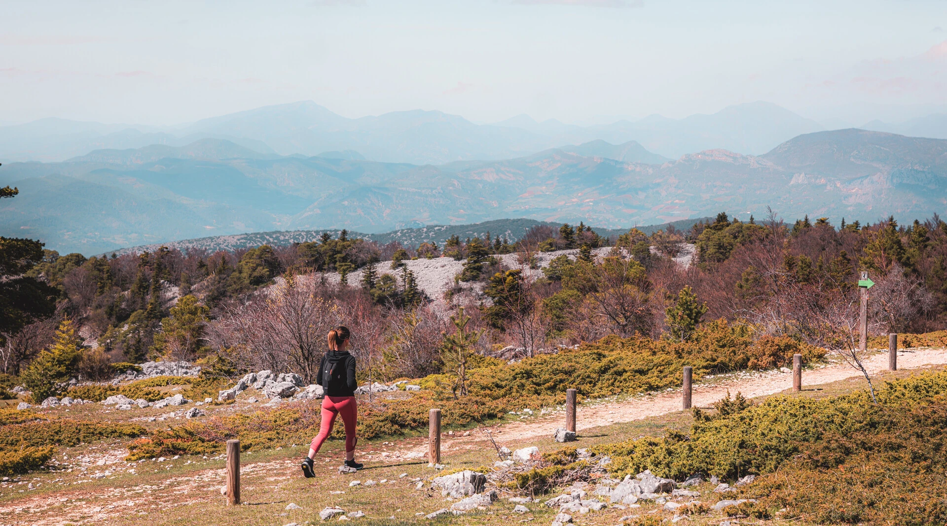
For those who prefer to keep their feet on the ground and a rucksack on their backs, the Ventoux region has a large range of different hikes and walking trails to offer. Seasoned hikers can opt to follow the Ventoux Massif Tour or the tour of the Dentelles de Montmirail. Or, for a daytrip or half-day trip, there are around a dozen looping trails that cross the villages, orchards and vineyards.
The most sporty among you can amuse themselves with a choice of around 20 looping trails, ranging from 5 to 40 kilometres long and reaching up to 1800m of elevation.
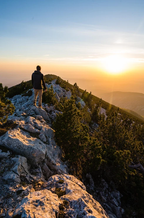
Since its classification as a UNESCO Biosphere reserve in 1990 and its inclusion in the European Natura 2000 network, Mount Ventoux has stood as a testimony to the extraordinary diversity of its environment and animal life. The Egyptian vulture, the golden eagle, the apollo – a butterfly emblematic of the region and under threat from global warming - these are just a few of nature’s treasures that can be found in the region: there are over 150 species of bird, 1500 plant species, and 500 different types of butterflies.
Mount Ventoux benefits from this exceptional level of diversity thanks to its unique bioclimatic structure, climbing from a mediterranean climate to an alpine climate. Its fields produce crops that have come to represent the region, such as fine lavender, small spelt, saffron, cherries, truffles and muscat grapes… a bounty of riches that enhances the regional natural park all year round.
What makes the summit of Mount Ventoux white?
During both winter and summer, the white cap of Ventoux never fails to intrigue those who see it. Contrary to what you might think, it isn’t snow that sits on top of the mountain but limestone, whose brightness is intensified due to the lack of trees at the summit.

Take a tour with the producers and delight in filling your baskets with local products: Strawberries from Carpentras, black figs from Caromb, apricots from Barroux, or even black truffles…
If you are a lover of fine wines, you can also take a tour of the wine-producing domains nestled in the slopes of Mount Ventoux. The AOC Ventoux muscat grapes are the pride of local producers, and bunches of these grapes can always be found on the market stalls, waiting for you to discover their sweet and juicy subtleties!
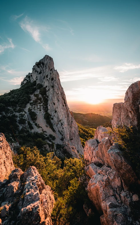
Picture a series of limestone cliffs sculpted by the ages, jagged ridges that seem to dance in the sunlight, and a landscape of vineyards and scrubland stretching as far as the eye can see… Welcome to the Dentelles de Montmirail! Like the rest of the Ventoux region, the Dentelles de Montmirail can be explored on foot, by bicycle, or by mountain bike.
A space steeped in history
Located on the edge of a ravine once fed by the river Trignon, a religious congregation of about thirty nuns from the most prestigious families of the Comtat and the Dauphiné regions settled at the Prébayon Monastery back in the seventh century. Today, the remaining traces of the Monastery can be glimpsed from the surrounding paths.
Ventoux destination
Ventoux Provence Tourism
Vaison Ventoux Tourism
Porte du Ventoux Tourism
Enclave des Papes
By train via TER stations in Carpentras (fr), Monteux (fr) and Sorgues (fr)
By bus via the Zou! Regional network and the local network TransCove (fr)
Journey time: Carpentras to Avignon: 45 mins
Using the Zou! network’s on-demand transport service, route 984 (by booking) or in the Buis and Vaison area
Single journey fare: €2.10 (€2.50 if purchased on the bus)
On urban transport networks
In Carpentras and the surrounding area, using the local TransCove network (fr)
Single journey fare: €1
In Monteux and Sorgues, using Mont’en bus and Sorg’en bus (fr)
Single journey fare: €0.60
Free shuttle buses
In Carpentras (fr) on Friday mornings (from the sports centre car park to the weekly market in Carpentras)
In Vaison-la-Romaine, the VasioBus (fr) runs from Monday to Friday, serving numerous locations across the town.
In Valréas, an electric shuttle bus (fr) runs from Tuesday to Saturday
The weather (fr) at the summit of Mout Ventoux often differs greatly to the weather down on the plains. Make sure to check the forecast in advance.
There are free park-and-ride facilities (fr) all around Carpentras
You can park along the length of the D974 to the summit, as well as in the "Tempête" carpark (coming from Bédoin), and the "Radôme" carpark (coming from Malaucène).
The col (summit) is closed from mid-November to mid-May
Check the map (fr) to see if the forest massifs are accessible, or whether a planned event will affect the route you were planning to take.
At one of the charging points at accommodation providers’ premises or on public roads.
Yes, the communauté d'agglomération du Ventoux Comtat Venaissin et la Communauté d’Agglomération Les Sorgues du Comtat (fr) which subsidise carpooling via BlaBlaCar Daily
Rate per kilometre:
From 2 to 10 km: €1 per passenger carried
From 10 to 20 km: €1 per passenger + €0.10 per additional kilometre per passenger (up to a maximum of 20 km)
Over 20 km: €2 per passenger carried
Monteux
Located in the heart of Provence, Monteux is well situated to discover Avignon a
From 31/01 to 19/12/2026 daily between 4 pm and 9 ...

Villes-sur-Auzon
Holiday accomodation close to the Mont Ventoux and popular tourist villages, wit
From 04/04 to 31/10/2026 daily.

Mollans-sur-Ouvèze
This B&B is your peaceful haven with fabulous views and sheltered from the mistr
From 18/04 to 11/10 daily.
