






Sablet
V11 - Le Monastère de Prébayon - Sablet
logo
Parcours
Difficulté
Duration
Distance
Dénivelé
Altitude
Non renseigné
Difficile
4h01.2
15km
+ 500 mètres
- 508 mètres
Min. 160 mètres
Max. 502 mètres
Max. 502 mètres
Téléchargements

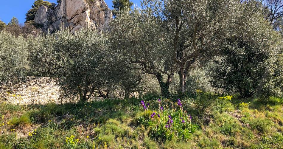
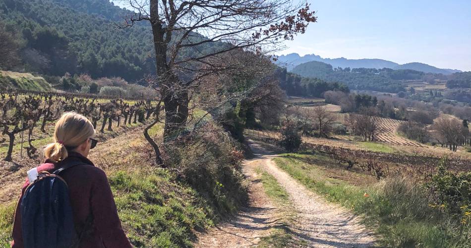
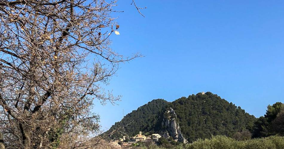
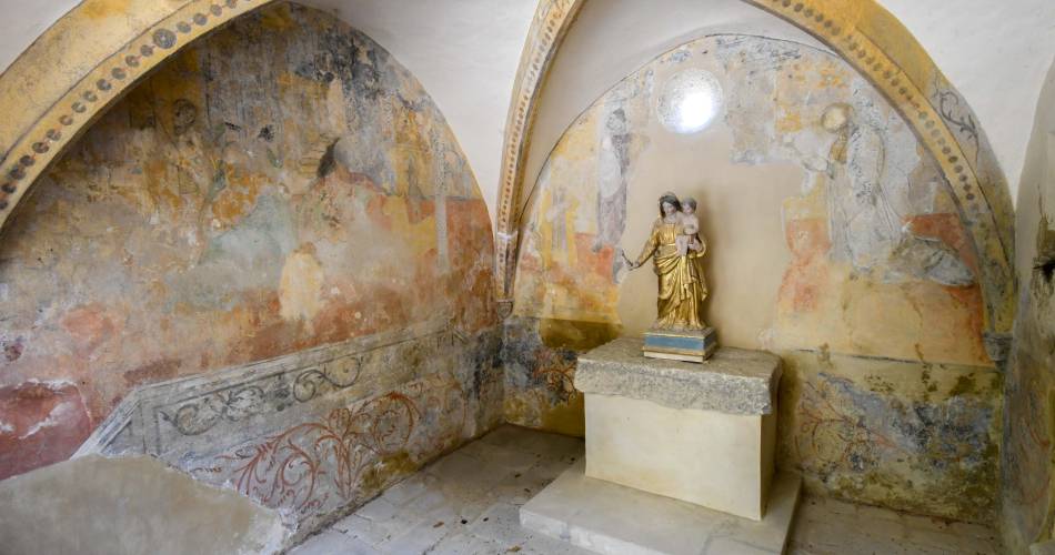
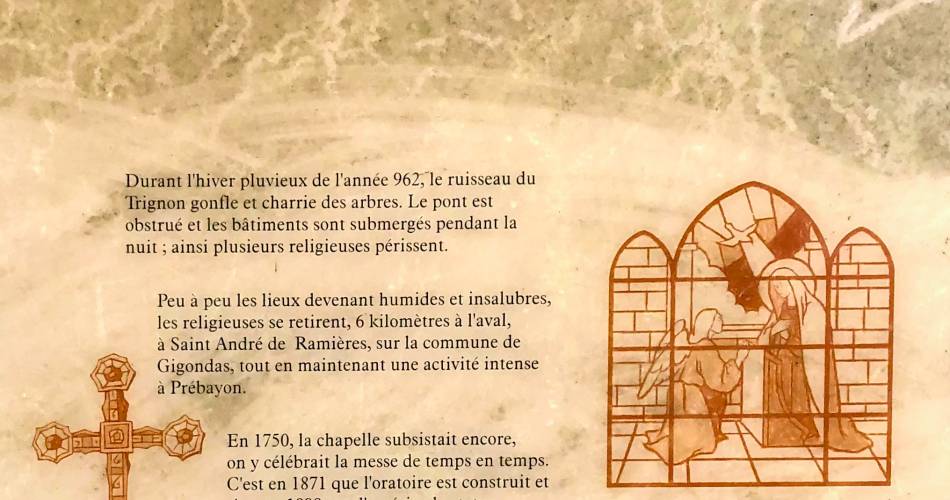
Discover a moving site, one of the oldest vestiges of the Christianization of the region, where nuns who had come to retire to the "desert" were driven out by the raging waters.
Toutes les photos
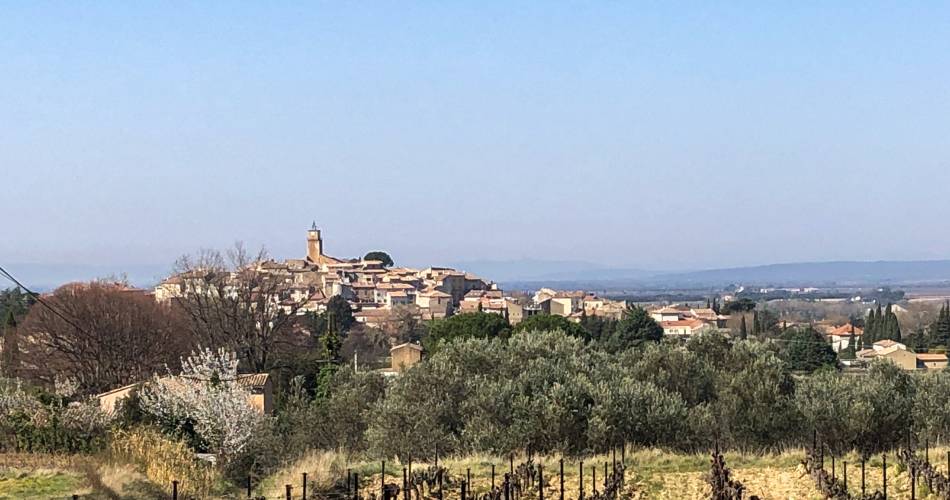
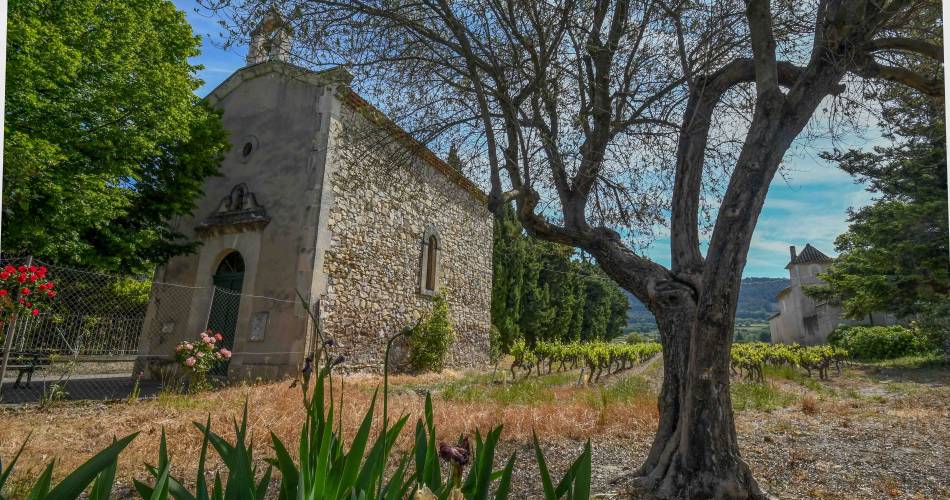
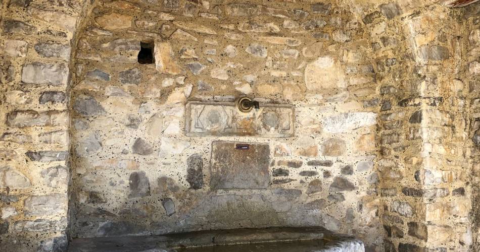
The hike in
située à Sablet :
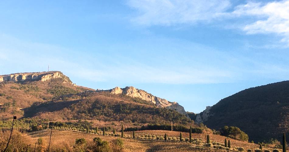
On this route, you'll pass through fortified villages perched on high ground, then plunge into a deep ravine that leads to the ancient abbey of PREBAYON, before emerging into the light and vineyards, facing Mont Ventoux!Departure point: Parking de Sablet
1 Take the Chemin du Stade and, at the cemetery, turn left onto the D7.
2 Continue along the D7 to the Chapelle St Roch. Take the Chemin des Combes, then turn left. At the crossroads, turn right and continue along the gravel path. It leads to the Jacquette crossroads.
3 Follow the dirt track to Séguret on the left.
4 At the Grand-Font crossroads, take the small road to the right. At the Constant farm, take the left-hand path through the woods, then the road. It crosses the pass and begins the descent. Bend right and continue along the gravel path opposite St-Amand. When flat, reach the Didoulette crossroads.
5 Take the left-hand track for 250m to the Côte-Chaude junction.
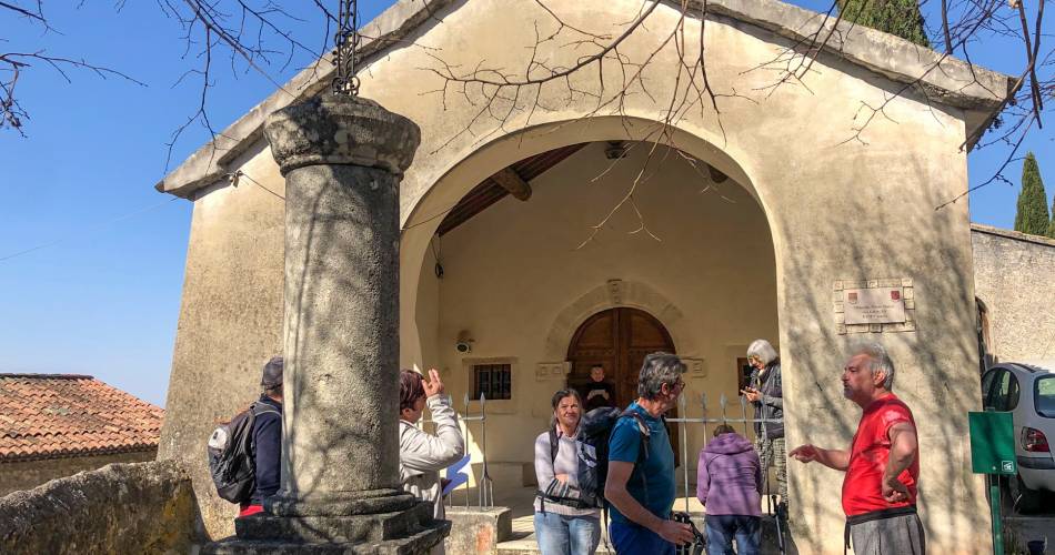
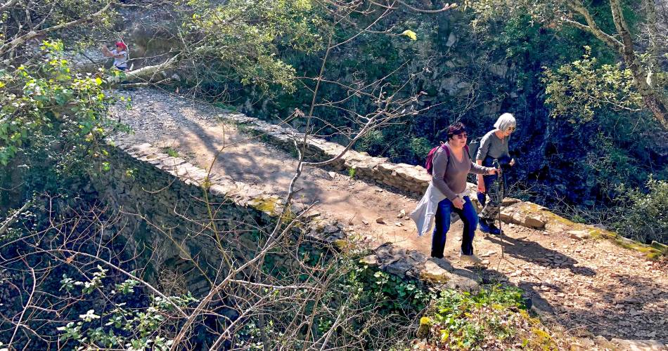
6-Take the right-hand path. It winds gently up the valley to Prébayon. Do not cross the bridge, but continue 30 m to the left to reach the ruins (explanatory sign).
> Short variant: (14km; 3h30): to avoid the climb, retrace your steps to Côte-Chaude.
7 Climb to the oratory above the ruins, then climb steeply to the Grande-Montagne crossroads.
8. Take the left-hand track. At the Planes fork, take the left-hand track. It descends to the Côte-Chaude junction.
9 Return to the Dindoulette crossroads.
10.go straight down. The paved track leads to the Fontaine des Fées bend.
11Continue along the road for 300m to "Font di Fades".
12-Take the left-hand track. It twists and turns, then climbs again. Follow the road to the right for 50m, then take the path to the right. At the fork, go down the left-hand path. At the bottom, take the right-hand path. At the fork, take the left-hand path. At the bottom, take the right-hand path. At the crossroads, turn left onto the road back to the cemetery. Turn left to return to the parking lot.
En bref
- Villages fortifiés, perchés sur des hauteurs,
- Ravin profond qui conduit à la très ancienne abbaye de PREBAYON,
- Vignes, face au mont Ventoux.
Contact
V11 - Le Monastère de Prébayon - SabletParking de Sablet
chemin de Stade (sortie du village par la D7)
84110 Sablet
Phone :
Show the number
Accéder à l'itinéraire
Trajet en transport en commun
Gare SNCF la plus proche : Carpentras
Bus TransCove
Depuis Vaison-la-Romaine ou Carpentras : ligne J direction Séguret / arrêt Mairie
Bus Zou !
Depuis Carpentras : ligne 904 / arrêt Route d'Orange
Bus TransCove
Depuis Vaison-la-Romaine ou Carpentras : ligne J direction Séguret / arrêt Mairie
Bus Zou !
Depuis Carpentras : ligne 904 / arrêt Route d'Orange
Accès routier
- Depuis Vaison la Romaine via la D977 (20 minutes)
- Depuis Orange via Camaret-sur-Aigues puis la D23 (25 minutes)
- Depuis Avignon via Vedène, Monteux, Sarrians, Vaqueyras et Gigondas (45 minutes)
A noter
 Vous souhaitez nous signaler un problème sur votre randonnée ? (balisage, entretien, danger….), prévenez nous sur : Suricate
Accès aux massifs
Respecter les réglementations de préservation des zones naturelles protégées - se renseigner sur les conditions pour accéder aux massifs en période de risque incendie, du 15 juin au 15 septembre.
Avant toute sortie, Voir le site web
Respecter les réglementations de préservation des zones naturelles protégées - se renseigner sur les conditions pour accéder aux massifs en période de risque incendie, du 15 juin au 15 septembre.
Avant toute sortie, Voir le site web